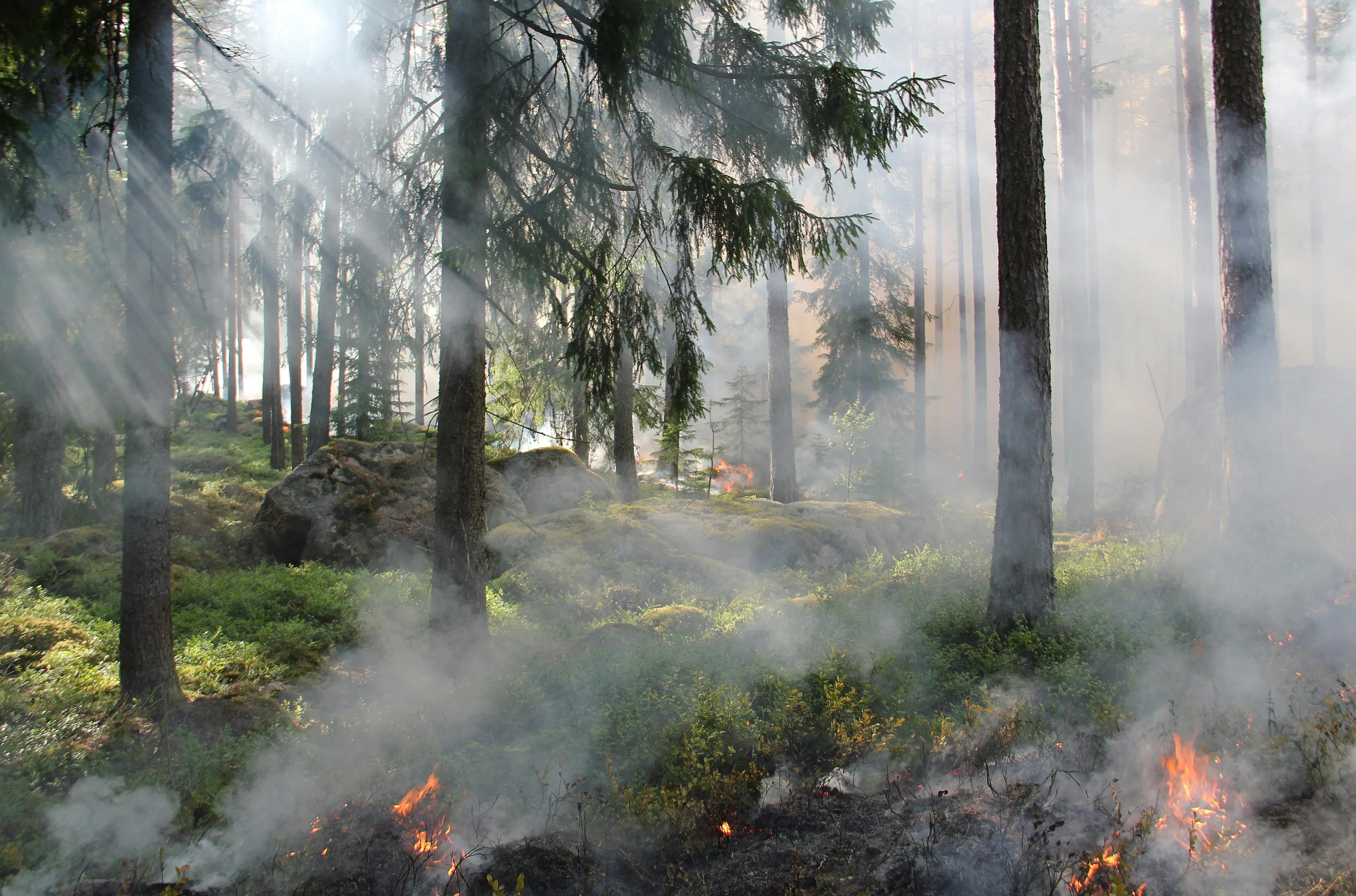
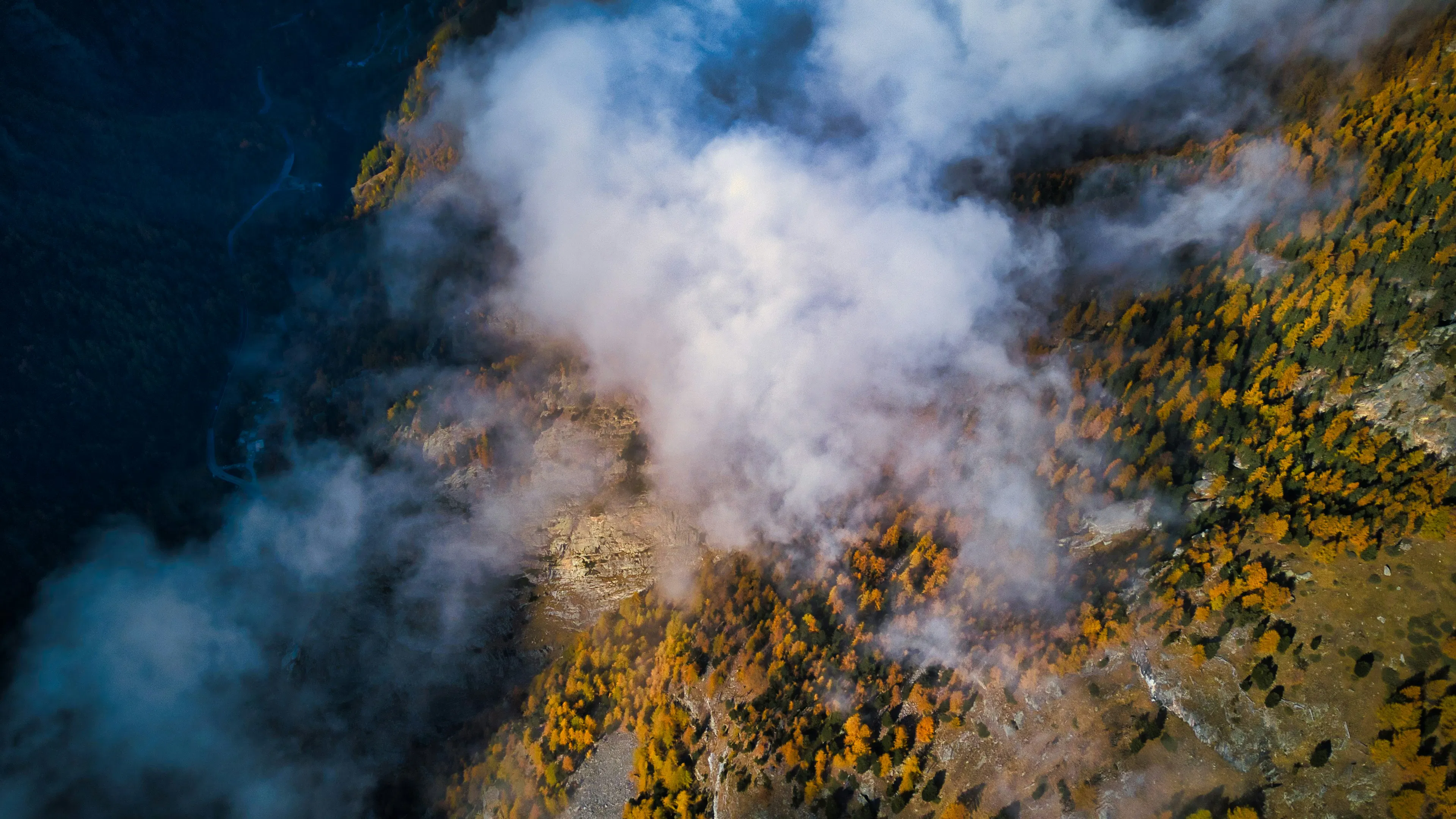
Wildfire detection from satellite images
Enhancing the UK's capability to respond to and build resilience against wildfires
People:
Professor Chunbo Luo, Dr Remy Vandaele, Professor Hywel Williams
Partners:
Met Office, Plymouth Marine Laboratory, IBM Research Europe, wildfIRE Lab (University of Exeter)
Technical approaches:
Foundation models
Challenge areas:
Natural hazards, Earth observation, remote sensing & geospatial intelligence
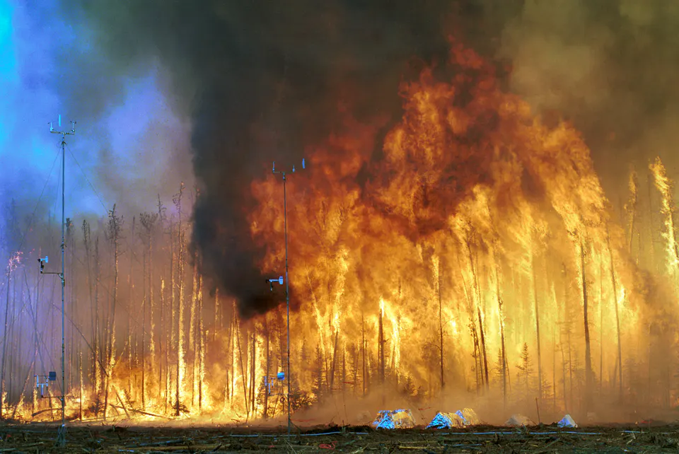
Through co-production and integration of Geospatial Foundation Models with the Met Office's land-use management supporting digital twin, this project aims to overcome current decision-support tool limitations by enabling the detection and subsequent management of small-scale fire events from satellite imagery
A critical capability currently lacking in the UK.
Project complements the wildfire datasets used for the GreenSight project.
Find out more about the Wildfire detection project
Related activity